Maps API for your apps
Use our satellite & aerial maps from a reliable global infrastructure.
Learn more
OctoGEO prepares Earth Observation data into a form directly usable by companies in their end-user products and websites - from private intranet applications, offline hardware devices to games.
We are a technology start-up based in the Czech Republic, we create software and workflows which run on a computer cluster to speed up processing of the immense amount of data for the entire planet.
Use our satellite & aerial maps from a reliable global infrastructure.
Learn more
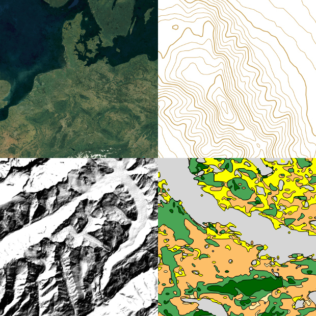
Satellite - global beautiful satellite map combining data
from ESA and NASA satellites
Aerial - high-resolution aerial data packages for individual
countries color-toned to fit the satellite map
Terrain - global digital terrain, ready for 3D models and
visualizations, digital elevation model
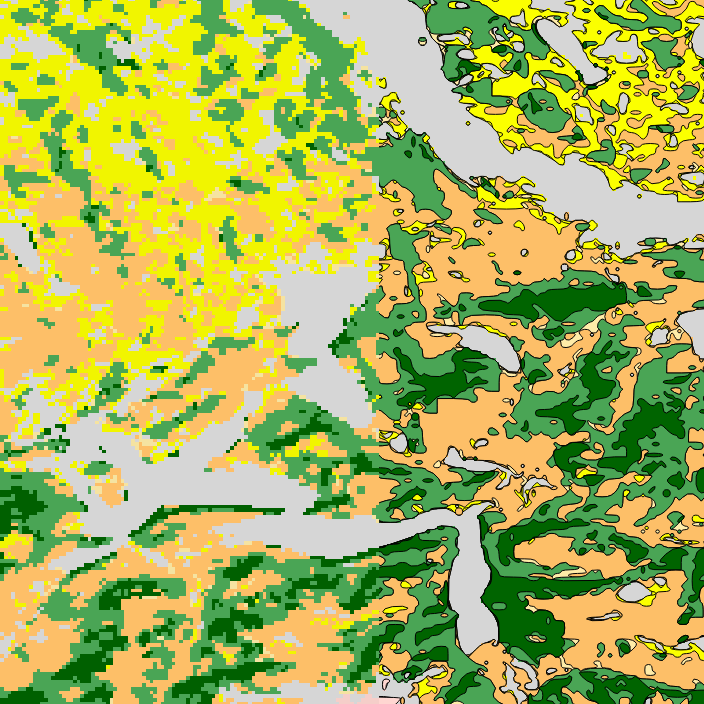
Landcover - vectors for global data
(forests, grass, shrub, urban areas, glaciers)
Contact us or purchase as hosting or downloads.
Vectorizing raster geodata
Converting extremely large raster data into bezier curves and polygons. Applications: vector tiles from raster data, detailed contour lines, hypsometry vectors, landcover areas, visualizations of results of analysis and more.
Color toning imagery
Color toning algorithm for visually aligning different not overlapping drone/aerial/satellite imagery or photographs - used in our Aerial and Satellite products. Licensed to be used in the popular MapTiler software.
Big data processing on a cluster
We can process your own data.
We have been one of the winners of the Copernicus Masters 2017